Why County Lines Rarely Follow One Neat Feature
Why county lines rarely follow one neat feature, and how to distinguish a visible landscape pattern from the administrative choices behind it.
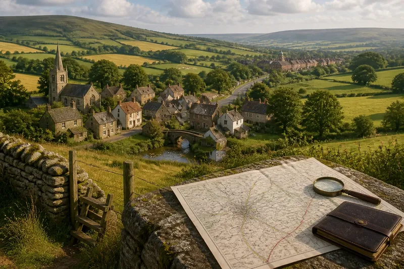
A county line on a map can pass behind a village, leave a ridge and reappear beside a parish edge. That uneven course is why county lines rarely follow one neat feature: the landscape and the work of governing places do not always divide territory in the same way.
Landscape is not jurisdiction
A river, ridge or road is easy to see, so it can look like the natural explanation for a county’s shape. But a visible feature and an administrative boundary answer different questions. One describes land; the other assigns places to an area of authority.
That distinction matters most where a line seems to ignore the ground. A village may straddle a county boundary, or a line may cross a valley rather than follow its stream. Neither arrangement is inherently a mapping error. It may reflect how communities and local jurisdictions were organised, though the map alone cannot establish the reason.
Describe the mapped relationship first; leave its history open until you have evidence beyond the shape.
Places have overlapping identities
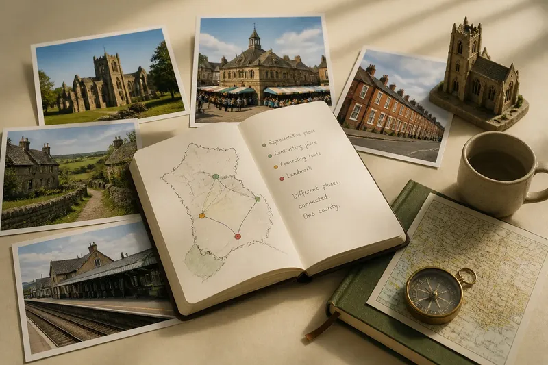
County identity is only one layer of local belonging. A settlement may be associated with a market town in another county, share a church or school with nearby communities, and still sit within a different administrative area. These connections can make a county boundary feel less like an edge in daily life than it appears on a map.
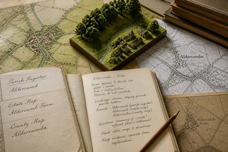
Place names can preserve clues to older affiliations, but a name is not a boundary record. The same name may refer to a village, parish or wider district, and its meaning can shift over time. Treat local naming as a prompt for further enquiry, not as proof that a line once ran in a particular place.
Ask which relationship a source describes: civic, ecclesiastical, customary or simply local usage.
What does the line tell you?
Does a county boundary define local identity?
Not by itself. Residents may orient themselves towards nearby places across the county edge, while still using the county name for official purposes.
Can a place name explain a boundary?
It can suggest a connection worth checking, but names may refer to different kinds of places and can outlast the arrangements they once described. Compare the name with records that identify the relevant area and period.
Why might a village belong to one county but look towards another?
Everyday routes, services and trade can link a village to a neighbouring centre without changing its administrative status. A boundary map and a map of local connections show different aspects of place.
How should I describe an uncertain connection?
State what the source shows and qualify the interpretation. For instance, say a settlement appears connected to a neighbouring market town if the evidence is a route or shared service, rather than calling that connection the cause of the county line.
Separate claims from clues
When reading a county map, keep the observation distinct from the explanation. A line may meet a parish edge, pass through a settlement or leave a ridge; those are descriptions. Claims about why this happened need records that speak to the relevant administrative arrangement.
Observation: the boundary passes through a named settlement. If the map marks the settlement on both sides, then describe it as divided on that map; otherwise, check a map at a larger scale before stating that it is split.
Observation: a place name appears on an old map. If the label clearly names a parish or district, then compare that area with the county line; otherwise, treat it as a place-name clue, not evidence of jurisdiction.
Observation: a village’s main route leads towards a town across the county edge. If the route is shown connecting the two places, then describe a mapped connection; otherwise, avoid inferring a shared service or historical link.
Observation: a boundary coincides with a parish line on one source. If the correspondence continues along the section being described, then note that local match; otherwise, describe only the portion that aligns.
Observation: two maps place a feature differently. If their dates or purposes differ, then note the difference and compare like with like; otherwise, check whether the feature has been simplified or labelled ambiguously.
Observation: a record identifies a settlement with a particular administrative area. If the record concerns the period in question, then use it to qualify the map description; otherwise, do not apply it to a different period without further support.
Say you are examining an invented map extract where the county line passes through Alderford, while the marked road connects Alderford to a town over the county edge. First, record the two visible facts separately: the boundary crosses the settlement, and the road links it to the neighbouring town. Next, compare a parish map and find that the parish boundary follows the county line only on the eastern side of the village; record that limited match, not a whole-parish explanation. Finally, consult a fictional local directory that lists Alderford’s church under its own parish but gives no information about the town’s services. The resulting account can state that the county line divides the mapped settlement and partly coincides with a parish edge; it should leave the road’s social significance unresolved.
County line interpretation
For county line interpretation, the useful habit is to keep each claim tied to its source. A map can show where a line is drawn; a place-name source can clarify what a label refers to; administrative records may explain an area’s formal status. None needs to carry more weight than it can support.
When the evidence is incomplete, a precise description is more informative than a confident story. Name the place, state what the source shows and mark the point where interpretation begins.